

Protecting the coasts in the United States from the impacts of climate change comes with a hefty price tag. But new research shows that using sea walls to safeguard land can just make the rising tides a problem somewhere else.
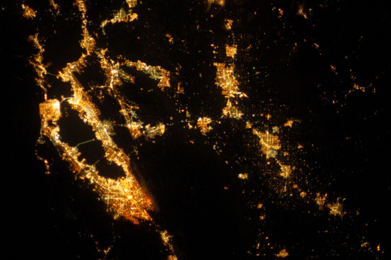
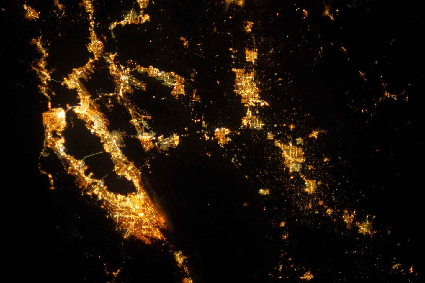
The paper, published in PNAS, looks into the effect of erecting sea walls in one location and what that means for other places along the coast. Using the San Francisco Bay as a case study, it also assesses the economic impacts of flood scenarios in the nonprotected regions. According to the paper, defending individual parcels of the shore can increase flooding elsewhere by as much as 36 million cubic meters. This can result in $723 million in damages for a single flooding event in the most dire situations—costs can even exceed the damages that would have resulted otherwise in the protected region.
Sea change
As the sea level around the world rises, humans are inevitably going to be putting up structures to protect themselves—and, in the case of the US, that includes 350,000 structures near the coast. But this can have detrimental effects on those places we choose not to protect.
Robert Griffin, an assistant professor at the University of Massachusetts, Dartmouth’s School of Marine Science and Technology, decided to look into what happens to unprotected areas. Griffin and his team combined hydrodynamic and economic modeling to investigate flood damages in the San Francisco Bay under a variety of different scenarios—with different parts of the shore protected by walls with different lengths, for instance. (For the sake of the experiment, the sea walls were modeled as being infinitely high.)
The team focused on problems brought on by tidal events, rather than storms, and broke the results down by amount of sea-level rise: 50 cm, 100 cm, 150 cm, and 200 cm above 2010 levels. The study “can be useful in a variety of outcomes through time,” Griffin told Ars, adding that the 200 cm scenario is close to the high end of current projections for the year 2100.
“Displacement effects relate to the morphology of the land. Places that are low-lying, and valleys, can potentially accommodate more water in a tidal flooding scenario. If you block those places in the case of a flood, those waters go elsewhere. If those other places aren’t also similarly defended, then it can increase the damages on those places,” Griffin said.
For example, if you protect the Napa-Sonoma shoreline, the Santa Clara Valley and San Leandro in the South Bay can expect to experience $82 million and $70 million in flooding damages, respectively, with a sea-level rise of 200 cm. San Rafael would also be hit with an additional $53 million in damages in the case of a flood.
On the positive side of things, protecting parts of the South Bay could lead to small but widespread damage reductions. Protecting Alameda, for instance, could reduce flood damages in areas south of there, including San Lorenzo and Newark. It would also cut down damages on the opposite side of the shoreline, near Palo Alto and Silicon Valley, the paper notes.
Though the modeling done in this research focuses on the San Francisco Bay, Griffin noted that other parts of the world’s coasts could see similar effects. Further, around 468 million people live close to bays and estuaries, according to the paper. Considering sea walls are already in place along many coasts, these displaced damages could already be happening—though potentially to a lesser extent than if the sea level reached the paper’s more dire levels.
Not all shores created equal
The economic damages of a flood—whether impacted by a distant tidal wall or not—will vary from place to place. For instance, in the Bay Area, Napa County is relatively sparsely populated compared to Oakland and other urban regions. However, the region at large is still quite densely populated compared to elsewhere in the US, Griffin noted.
Theoretically, using sea walls, the flood waters could be redirected into ideal areas. The paper notes that strategic flooding of certain shoreline segments, such as sloping regions with a good amount of space to accommodate the influx of water, could be used to mitigate damages elsewhere. There are other considerations when making decisions about protecting parts of the shore, according to the research. These include the protection of vulnerable populations, places with historic significance, places of agricultural importance, etc.
Griffin said that he hopes that different jurisdictions—cities, states—begin to work together to consider the potential impacts of their efforts to protect their shores.
“Planning in a small-scale and doing so without considering impacts elsewhere can lead to these unintended consequences that, only now, are we starting to get a measure or a value for,” he said.
Unintended consequences
These findings aren’t terribly surprising to Jeremy Porter, head of research and development at First Street Foundation, as other efforts to mitigate damages from climate change often come with their own issues. For example, in Miami Beach, the city elevated the roads to keep flood waters away—but that water just flows into other areas, Porter told Ars.
“There’s always this conflict, this sort of tension, between adaptation—adding physical infrastructure to manage that type of flooding—and the unintended latent consequences that occur,” he said. “The water has to go somewhere.”
Porter agreed that planning to redirect flood waters to strategic places would be a good idea. Further, he noted that cooperation between different jurisdictions isn’t, at the moment, likely. Right now, the funding for large climate adaptation projects comes from the federal government or the local one. In either case, there’s not a lot of incentive for the local government to think about the impacts in other places.
According to Porter, for a long time, people steered clear from building in places prone to floods—and this was before the current state of the climate. For example, the Outer Banks islands of North Carolina were relatively undeveloped. Now, the barrier islands are a popular tourist destination, and they and their infrastructure are threatened by floods. Going forward, buildings probably shouldn’t be constructed in areas likely to see this much water.
“A lot of the unintended consequences that are occurring are because people didn’t look far enough out to see what the climate is like 30, 40, 50 years into the future,” Porter said.
PNAS, 2021. DOI: 10.1073/pnas.2025961118. (About DOIs)
https://arstechnica.com/?p=1780487
