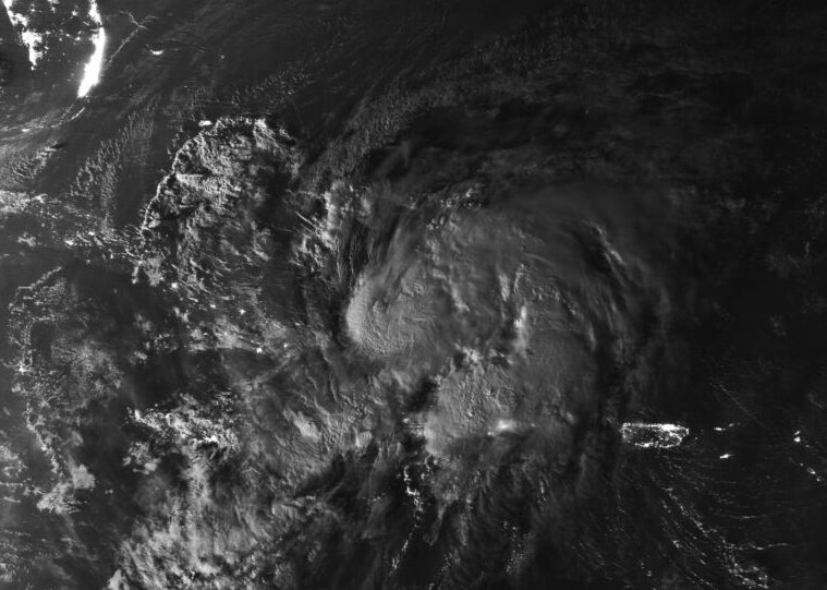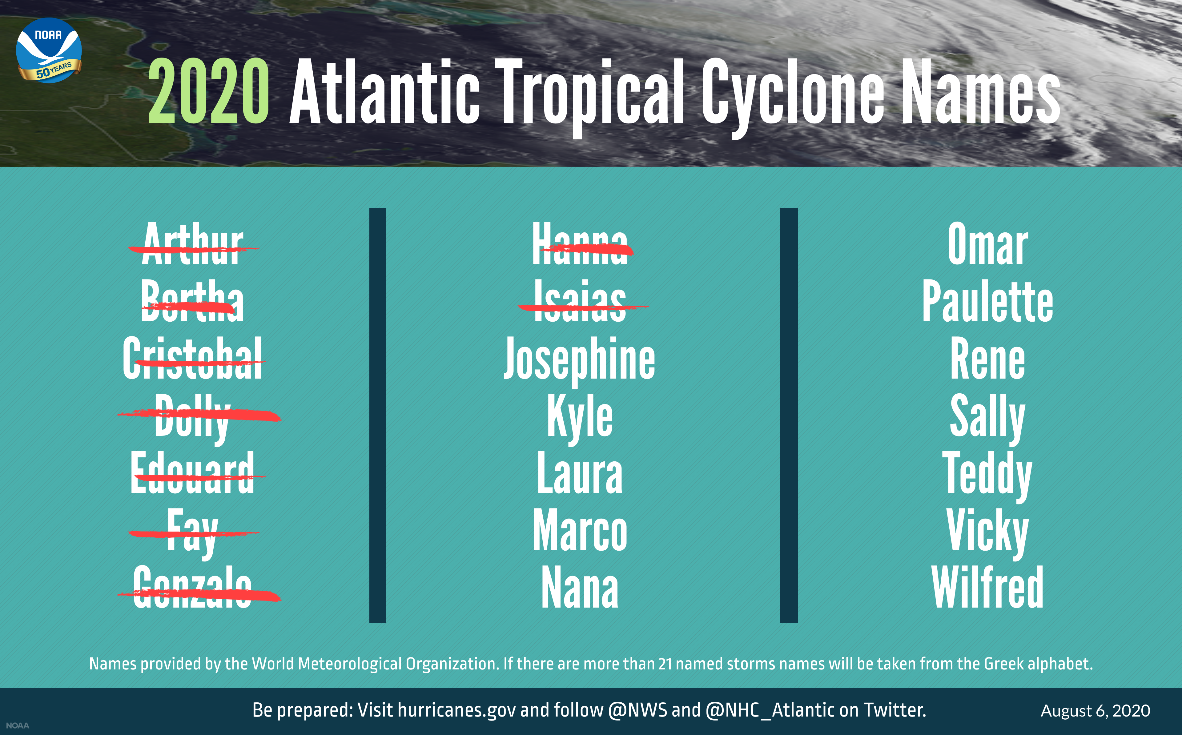
Hurricane season in the Atlantic has so far been quite active, with nine storms chewing through the alphabet already—two of them (Hanna and Isaias) reached hurricane strength before making landfall. Unfortunately, this pattern isn’t expected to let up, as hurricane outlooks have upgraded the odds that this highly active season is going to continue. In fact, NOAA is suggesting that we could be considering names starting with Y before things settle down for the winter.
In May, NOAA’s hurricane season outlook gave 60 percent odds of above-average activity, with something like 13 to 19 named storms, six to 10 hurricanes, and three to six major hurricanes of Category 3 or higher.
On Thursday, NOAA released an updated outlook with higher probabilities. “The season is now expected to be one of the more active in the historical record,” it notes. The outlook now calls for between 19 and 25 named storms and with seven to 11 hurricanes, though the number of major hurricanes is unchanged. Because the potential energy available for storms can produce one big storm or multiple smaller ones, the total is often calculated as “Accumulated Cyclone Energy,” or ACE. An above-normal hurricane season hits 120 percent of the median ACE, while clearing 165 percent defines an extremely active season. The new outlook sees the 2020 season hitting anywhere from 140 to 230 percent of median ACE.

A number of factors affect hurricane activity in the Atlantic, so there are several reasons for this activity outlook. First, sea surface temperatures in the Atlantic are warm, providing a key ingredient for hurricanes—water vapor to fuel a storm. Wind patterns are also remaining conducive to both forming new storms and strengthening existing ones. That includes winds around the West African monsoon helping to create the low-pressure systems that can seed a tropical storm. It also includes weak wind shear, the contrast between low- and high-altitude wind speeds that can cause a tropical storm to lean over and lose its organization.
Finally, the outlook in the Pacific Ocean has started leaning towards La Niña conditions developing this fall. The Pacific has been in a neutral state between clear La Niña or El Niño for over a year, but things are trending toward cooler waters in the eastern equatorial Pacific, driving the resulting atmospheric patterns. La Niñas tend to encourage weak wind shear over the hurricane region of the Atlantic, aiding hurricane development, while El Niño conditions have the opposite effect.
A group at Colorado State University that also produces hurricane season outlooks similarly updated its numbers upward this week, as it had already done in both June and July. The researchers’ central estimates now total to around 24 named storms, 12 hurricanes, and five major hurricanes. And with more activity, they note an increased probability of landfalling hurricanes.
But all of these outlooks are simply probabilistic statements about the conditions for potential hurricanes, rather than forecasts of specific storms. Variable weather patterns will determine how storms actually develop and intensify, as well as the paths they follow. What is clear, though, is that the ingredients are there for plenty more dangerous storms this year despite wishes for a break in a tough year. That’s a good reminder to make sure you are prepared if you live in hurricane country.
https://arstechnica.com/?p=1697244

