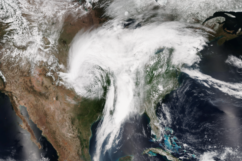
By increasing the energy stored in our atmosphere, climate change is expected to generate more severe storms and heat waves. Severe storms and heat waves, however, also happen naturally. As a result, it’s tough to figure out whether any given event is a product of climate change.
A corollary to that is that detecting a signal of climate change using weather events is a serious challenge. Are three nor’easters in quick succession, as the East Coast is now experiencing, a sign of a changing climate? Or is it simply a matter of natural variability?
A team of researchers has now looked at heat waves in the US, trying to determine when a warming-driven signal will stand out above the natural variability. And the answer is that it depends. In the West, the answer is “soon,” with climate-driven heat waves becoming the majority in the 2020s. But for the Great Plains, the researchers show that a specific weather pattern will push back the appearance of a warming signal until the 2070s.
Finding the heat
The study, performed by researchers at three different institutions in Florida, focuses on what they term the Time of Emergence, which they define as the point when “the signal of anthropogenic climate change will emerge against the background natural variability.” For this work, they focused on heat waves, which they defined as an extended period of time with temperatures 5 degrees Celsius or more above the typical temperature.
They started out by analyzing historic events, using the temperature records from 1920-2000. They found that there were regions where heat waves tended to cluster. These included the West Coast, Southern Great Plains, Northern Great Plains, and the Great Lakes (they found eight in total). While many of these regions partially overlap, a heat wave that affected one of them typically did not affect any of the others, suggesting they were driven by independent weather patterns. The four mentioned above affect the largest portions of the US population and so were chosen for further analysis.
From here, the analysis is pretty straightforward. The authors used a collection of climate models to examine the frequency of heat waves for the remainder of the present century (2020-2100) under a high emissions scenario. While nations have committed to reducing emissions, this scenario would reflect a continuation of our current trajectory. The frequency of extreme events that showed up in the models was then compared to their frequency in the historic record.
For areas like the Great Lakes and the US West, the results were about what you’d expect: with continued climate change, both the frequency and severity of heat waves went up. For the Great Plains, this was also true, but the effect was much more moderate and emerged only gradually.
To quantify this difference, the authors developed a simple measure: the year in which half of the heat waves wouldn’t have qualified as heat waves if it weren’t for the influence of climate change. For the US West, that point was crossed in 2028. The West was followed by the Great Lakes, which crossed the threshold a decade later in 2037. But the Great Plains were on a completely different schedule. In the Northern Plains, the 50-percent threshold wasn’t crossed until 2056, while the Southern Plains didn’t have a clear signal of climate change until 2074.
Explaining the Plains
So why is internal variability so significant in the Great Plains? The researchers suggest two potential causes of these regional differences. One is a difference in the flow of air across the continental US, something that may be changing with our warming climate. If the prevailing winds become more erratic, then it’s possible that they would bring cooler air across the Plains more often. The alternative is soil moisture. This takes up heat from the air and ground as it evaporates, which would counteract some of the heating caused by greenhouse gases.
For the West Coast, the two appear to be related. Our warming climate is expected to produce wind patterns that reduce the frequency of storms and thus lower the amount of moisture in the soil. This, in turn, would reduce evaporation, leading to enhanced heat—which may explain why the climate signal appears there earliest.
For the Great Plains, however, the researchers identified a specific weather pattern that prevailed during the summer months called the Great Plains Low-Level Jet. The LLJ draws moist air up from the Gulf of Mexico, allowing it to fall as rain over the Plains. The evaporation of this rain would then offset some of the heat.
As a bit of science, this is some nice work, as the researchers have not only identified a case where natural variability has large influence on climate change, but they’ve identified the source of that variability. But they also point out that the findings could be helpful for policy. Over the last three decades, they note, heat-related fatalities have been the biggest weather-related cause of death in the US. Identifying the areas most at risk of increased heat would help us prepare for a future where that’s looking increasingly inevitable.
And, in the case of the West Coast, it may be arriving in as little as a decade.
Nature Climate Change, 2018. DOI: 10.1038/s41558-018-0116-y (About DOIs).
https://arstechnica.com/?p=1279183

