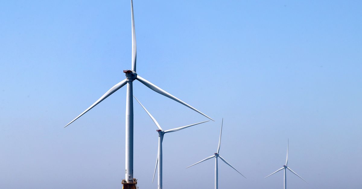
The US wants to use offshore wind farms to collect valuable data on climate change and ocean health. Renewable energy giant Ørsted recently signed a memorandum of agreement with the National Oceanic and Atmospheric Administration (NOAA), agreeing to help the agency gather data in US waters leased to the company. NOAA says the agreement “paves the way for similar data-sharing agreements with other developers.”
The Biden administration plans to dramatically expand the country’s offshore wind capacity. The US currently only has 42 megawatts of capacity from two relatively small projects on the East Coast. If the Biden administration makes good on its commitment to offshore wind development, that’ll grow this decade to 30,000 megawatts coming from wind farms across both East and West coasts.
That growth should help the US slash its greenhouse gas emissions and avert a deeper climate crisis. The new agreement puts forward a smaller but still significant benefit for research; each new wind farm could also boost the agency’s ability to track the effects of climate change that are already here.
“Having more data sharing and more sampling from the wind developers is going to help us, wherever there are wind development projects, to understand that bigger picture,” says Carl Gouldman, director of the NOAA Integrated Ocean Observing System program office. Conducting research at sea gets costly, so partnerships like the one with Ørsted can help fill in gaps in NOAA’s ocean observations.
The memorandum outlines broad areas of research with which Ørsted will help NOAA. Ørsted agreed to share data on air and water quality, marine life, meteorology, as well as coastal and ocean currents and waves. It will also collect data to better map the sea and study its physical properties.
They haven’t hashed out many specifics yet, but one area Gouldman is excited about is weather data. Weather forecasting could get better, for example, thanks to LIDAR data Ørsted collects. LIDAR, or Light Detecting and Ranging, can map an environment by shooting out laser pulses. The technology helps self-driving cars “see,” but in this case LIDAR is used to take a profile of wind speed in the atmosphere.
“We’re thrilled to hear that they’re going to be willing to share that data,” Gouldman says. “A couple of years back we heard things like, ‘well, the companies won’t want to share that because it’s proprietary data that they’re going to want to hold for themselves.’”
Ørsted collects additional data using buoys and vessels that conduct surveys for future wind farm projects, a spokesperson for the company said in an email. It also has a glider that gathers oceanographic data used for storm forecasting.
The first wind farm in the US at Block Island, operated by Ørsted, is ideally located for studying the effects of climate change at sea and even onshore. It’s just 13 miles off the coast of Rhode Island, which is heating up more rapidly than much of the rest of the United States. Scientists are still trying to understand why the Northeast is the fastest warming region in the continental US. One culprit could be warmer water in the Atlantic ocean, which can raise temperatures inland.
After announcing plans last month to expand offshore wind development and data collection, Secretary of Commerce and former Rhode Island Governor Gina Raimondo said in a statement, “These actions illustrate the Department’s commitment to innovative partnerships to advance the best science and data that will ensure the development of offshore wind is transparent and inclusive of all stakeholders.”
Separately from its agreement with Ørsted, NOAA is also studying the potential impact that offshore wind development could have on marine life. It’s using an autonomous underwater glider to study Atlantic cod and other species found off the Southern New England coast, for example. The agency provides data and analyses to the Bureau of Ocean Energy Management, which issues leases to companies for offshore wind development.
NOAA also agreed to share some of its own data with Ørsted. It has 10 to 15 years of data on current velocities on the East Coast, which it says would help developers understand how ocean conditions might affect wind farm construction. Ironically, new wind farms might interfere with the high-frequency radar stations used to gather that data. So NOAA is looking into whether it can add sensors to wind turbine stations to bolster that effort, too.
https://www.theverge.com/2021/4/9/22375290/offshore-wind-energy-us-ocean-research-noaa-orsted

